New Underground Storage Tank -Carver Fields

Yorkshire Water is beginning its largest-ever environmental investment programme, with £8.3bn being spent across the region over the next five years. Around £1.5bn of this will fund new surface water sewers, underground storage tanks, nature‑based solutions and sustainable drainage systems to help reduce storm overflow discharges and improve the health of local rivers and coastal waters.

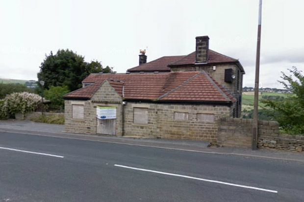
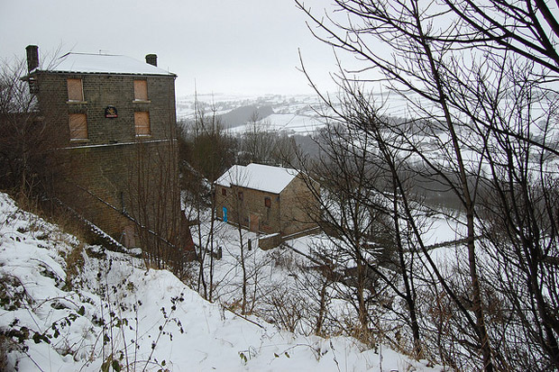
As part of this programme, work will soon begin on a new 2,500m³ underground storage tank beneath Carver Fields, off Hagg Lane. This tank will hold excess wastewater during heavy rainfall, reducing the need for discharges into local watercourses and helping to prevent sewer flooding.

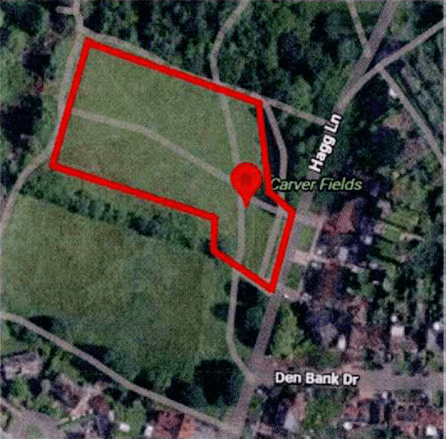
Carver Fields was chosen after extensive investigations, based on existing underground assets, local geology and the amount of land required, while aiming to minimise disruption to the community.
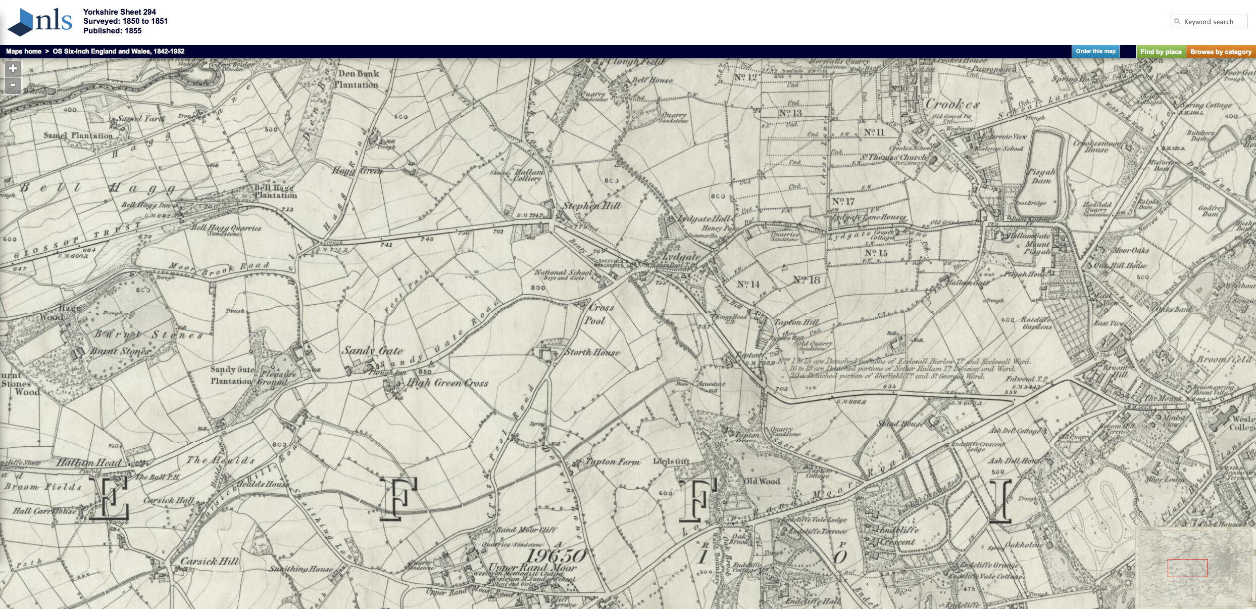
The working area is shown in red on this Yorkshire Water’s site map.

Normal working hours will be 7am–7pm, Monday to Friday, with occasional later work where residents will be notified in advance. No access to homes is required; residents are reminded to check identification before letting anyone in.

Yorkshire Water’s partners, Ward & Burke, plan to start construction in July 2026, with the project expected to take around 18 months. 

Before construction begins, additional surveys are needed on Hagg Lane. To carry these out safely, there will be a temporary road closure on Monday 8 June and Tuesday 9 June, between 7pm and midnight.
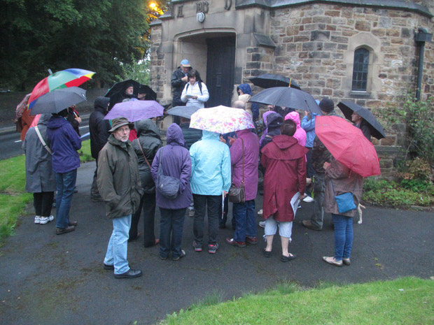
Residents enjoy Crosspool history walk

Crosspool history walk

Over thirty people walked the streets in drizzly conditions on Wednesday evening this week for the Crosspool Chronicles history walk led by Jan Milward and Lindsey Beagles.

The event was arranged so that people working during the day had opportunity to attend an evening repeat of the original history walk which took place during Crosspool Festival week.

1850s Crosspool revealed on historic maps

Map of Crosspool, circa 1850
Map of Crosspool, circa 1850 – click/tap to enlarge (PNG, 3.3MB)
Reproduced by permission of the National Library of Scotland

Crosspool as it was 160 years ago has been revealed on a set historic maps.

The Sheffield maps were drawn at various dates since 1850 and are available for viewing on the National Library of Scotland website.

The 1850 Crosspool map (PNG, 3.3MB) shows just a handful of dwellings around the Lydgate junction and Stephen Hill. You can also see landmark buildings that have since been knocked down including Lydgate Hall and The Kings Head pub.

View the full map on the National Library of Scotland website

Update on Bell Hagg Inn tower conversion

The Bell Hagg Inn is being converted to a house

The former Bell Hagg Inn, which has overlooked the Rivelin Valley from the Manchester Road approach in to Crosspool for well over 100 years, is being converted into a seven-bedroom family home.

For a period the public house was also known as The John Thomas before it finally closed in 2005.

It’s commonly believed that the original building was erected in 1832 as a five-storey house for Dr Hodgeson, who had built it as a folly to antagonise the Vicar of Stannington after he turned down a generous donation because he had made much of his fortune from gambling.

Before becoming a pub at the beginning of the last century, the building was used as a tea room by workers from the quarry across the road (now occupied by the Valleyside Garden Centre) and travellers stopping off between Sheffield and Manchester, and on occasion to secure prisoners destined for the assizes.

The present owner, who bought this vandalised property from the receivers, has started to extensively renovate the main five-storey stone built tower that hides the sheer drop at the back.

The building has stunning views across Rivelin Valley

Some of the tower’s small rooms that can be seen from the road are being knocked together and a covered link is being proposed to the already converted four-storey barn at the back. This link is to facilitate the future maintenance of the pub tower and will have a large glazed area and a sedum roof designed to blend into the surrounding green belt landscape.

In securing planning permission for the changes to this historic building, the new owner has had to get a bat licence to ensure bats are not disturbed. This will limit the times at which work can be carried out.